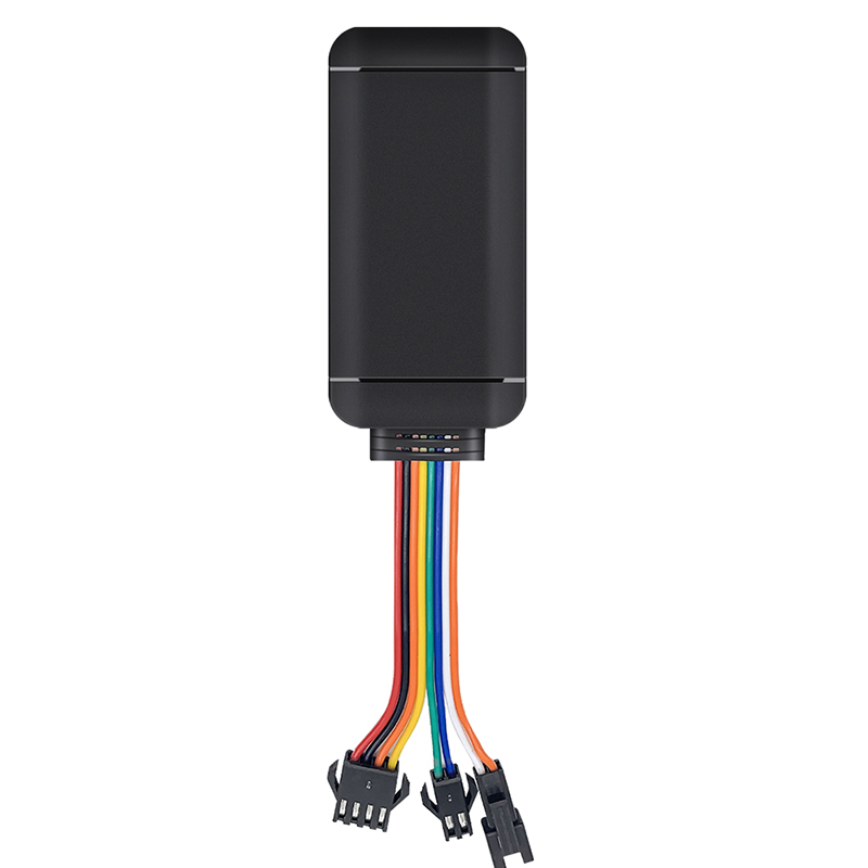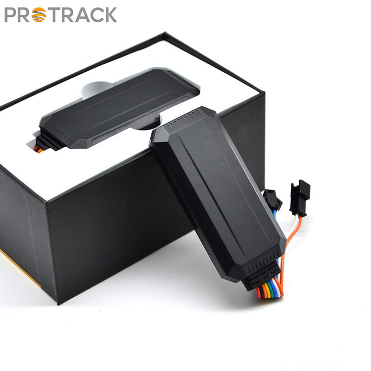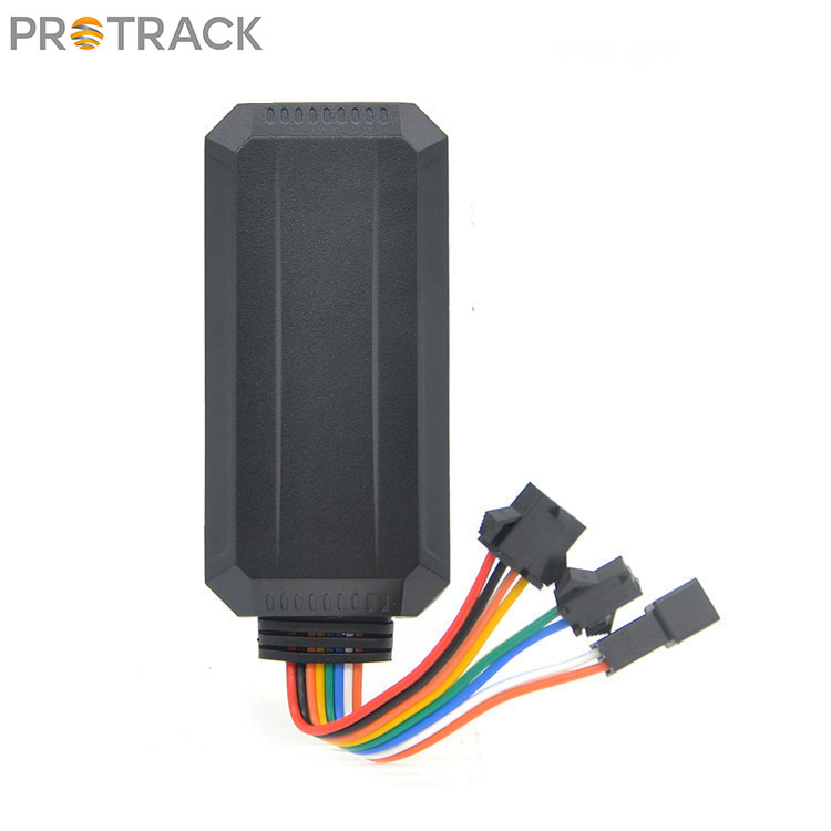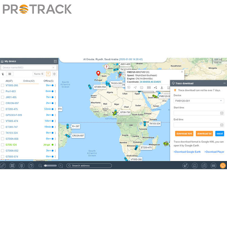
Vehicle tracking
Using GPS and electronic maps can display the actual position of the vehicle in real time, and can zoom in, zoom out, restore, and change the picture arbitrarily; can move with the target to keep the target on the screen; and can also achieve multiple windows, multiple vehicles, and multiple screens Simultaneously track. Use this function to track and transport important vehicles and goods.
Route planning and navigation
Providing travel route planning is an important auxiliary function of the car navigation system, which includes automatic route planning and manual route design. In automatic route planning, the driver determines the starting point and destination, and the computer software automatically designs the best driving route as required, including the calculation of the fastest route, the simplest route, and the route with the least number of highway sections. The manual route design is that the driver designs the starting point, the ending point and the passing point according to his destination, and automatically establishes a route library. After the route planning is completed, the display can display the design route on the electronic map, and at the same time display the vehicle running path and operating method.
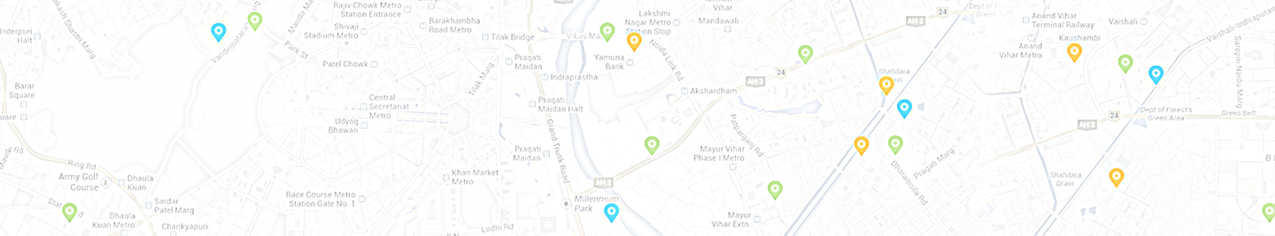
Information query
Provide users with zc main objects, such as tourist attractions, hotels, hospitals and other databases, users can display their location on the electronic map. At the same time, the monitoring center can use the monitoring console to query the location of any target in the area, and the vehicle information will be displayed on the electronic map of the control center in digital form.
Traffic command
The command center can monitor the running status of vehicles in the area and make reasonable dispatches to the monitored vehicles. The command center can also talk to the tracked target at any time to implement management.
Emergency assistance
Through GPS positioning and monitoring management system, emergency assistance can be provided to vehicles in danger or accidents. The electronic map of the monitoring station displays help information and alarm targets, plans the optimal assistance plan, and alerts the on-duty personnel with alarm sound and light for emergency treatment.