Common receiving chip
of the tracker system
1. SiRF starⅡ e
Sirfstar Ⅱ e is the first high-performance GPS chip, which was released in 2002. Sirfstar Ⅱ E / LP (gsw2.3) is a low-power version of sirfstar Ⅱ E. Both use 1920 times / frequency correlators. The time of cold start / warm start / hot start can reach 45s / 35S / 8s respectively, and can track 12 satellite channels at the same time. It should be said that the indicators of these two chips can meet the needs of daily applications. A large number of non independent GPS products launched from 2003 to 2004 use these two chips.
2. SiRF star Ⅲ:
SiRF starⅢ
SiRF chip released the latest third generation chip sirfstar III (GSW 3.0 / 3.1) in 2004, which makes the performance of civil GPS chip reach a peak, and the sensitivity is greatly improved compared with previous products. This chip improves the sensitivity by using correlators with 200000 times / frequency. The time of cold start / warm start / hot start reaches 42s / 38S / 8s respectively, and can track 20 satellite channels at the same time. Many of the latest non independent GPS receivers launched in 2005 use this chip.
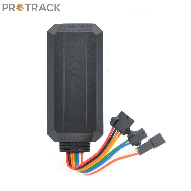
GSM / CDMA transmission part
of the tracker system
GSM module integrates GSM RF chip, baseband processing chip, memory and power amplifier devices on a circuit board. It has independent operating system, GSM RF processing, baseband processing and provides standard interface.
Developers use arm or MCU to communicate with GSM module through RS232 serial port, and use standard at commands to control GSM module to realize various wireless communication functions, such as sending short messages, making calls, GPRS dial-up Internet, etc. The development of products based on GSM module is often based on ARM platform and embedded system. Some GSM modules have the function of "open built-in platform", which allows customers to embed their own programs into the software platform in the module.
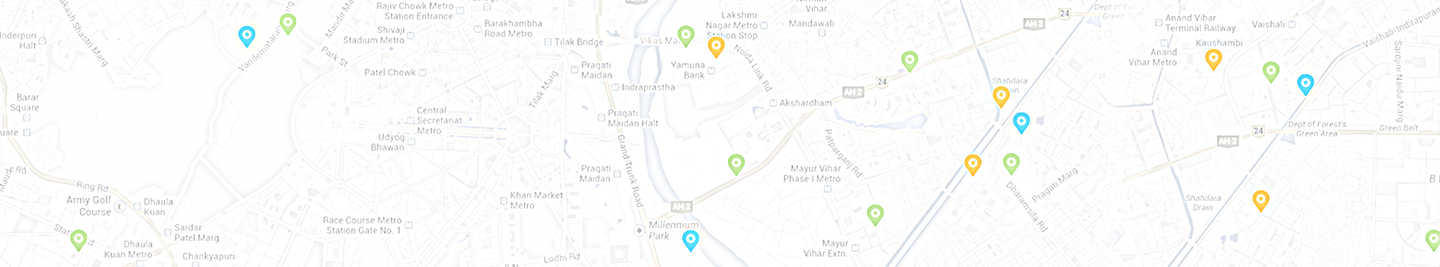
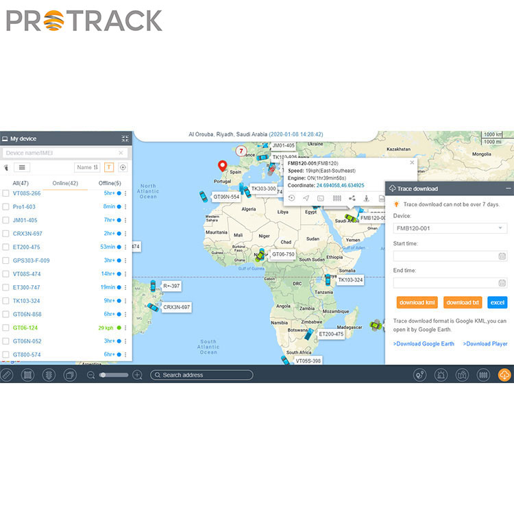
Receiving platform part
The network operator (China Unicom or China Mobile) opens a service port (about 6000-10000) for you, and then establishes its own website. The system generally adopts B / S (Browser / server) structure, and there is no need to build any system or install any software. As long as the computer can access the Internet, the enterprise can realize rapid and accurate dispatching management. The web management and query system on the Internet also provides the function of Google Earth Satellite query. You can view the vehicle location under your jurisdiction through the satellite map provided by this function. Before using this function, your computer needs to install Google Earth client software, which can be downloaded from the compass website.